
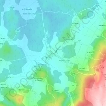
Zas topographic map
Interactive map
Click on the map to display elevation.
About this map
Name: Zas topographic map, elevation, terrain.
Location: Zas, Tierra de Soneira, La Coruña, Galicia, 15850, España (43.07925 -8.93359 43.11925 -8.89359)
Average elevation: 807 ft
Minimum elevation: 627 ft
Maximum elevation: 1,450 ft