
Colegio Agustin Fernando de Pinedo topographic map
Interactive map
Click on the map to display elevation.
About this map
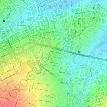
Name: Colegio Agustin Fernando de Pinedo topographic map, elevation, terrain.
Average elevation: 397 ft
Minimum elevation: 318 ft
Maximum elevation: 522 ft