Geolocate

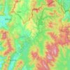
Matang topographic map

Click on the map to display elevation.

About this map
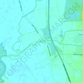
Name: Matang topographic map, elevation, terrain.

Location: Matang, Larut, Matang and Selama, Perak, 34700, Malaysia (4.80005 100.65194 4.84005 100.69194)

Average elevation: 10 ft

Minimum elevation: 0 ft

Maximum elevation: 46 ft

Other topographic maps

Click on a map to view its topography, its elevation and its terrain.
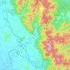
Kampar

Malaysia > Perak

Average elevation: 810 ft

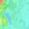
Hulu Perak District

Malaysia > Perak

Average elevation: 1,903 ft

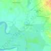
Kuala Kangsar

Malaysia > Perak

Average elevation: 702 ft

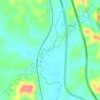
Kinta

Malaysia > Perak

Average elevation: 1,024 ft

Bagan Datuk

Malaysia > Perak

Average elevation: 23 ft

Steep Slope

Malaysia > Perak

Average elevation: 4,213 ft

Kinta River

Malaysia > Perak

Average elevation: 2,782 ft

Bukit Larut

Malaysia > Perak

Average elevation: 3,094 ft

Kampung Baru Chenderong

Malaysia > Perak

Average elevation: 95 ft

Muallim

Malaysia > Perak

Average elevation: 1,532 ft

Kampung Baru Bukit Merah

Malaysia > Perak > Ipoh

Average elevation: 184 ft

Hilir Perak

Malaysia > Perak

Average elevation: 20 ft

Lumut Waterfront Marina Wing

Malaysia > Perak > Lumut

Average elevation: 89 ft

Sungai Terolak

Malaysia > Perak > Trolak

Average elevation: 161 ft

Gear up for your next adventure:

🔥Plasma Lighters - Windproof lighters that work in any weather condition
📦Gear Storage Bags - Organize and protect outdoor equipment
📖Nature Tracking Books - Learn to track wildlife and terrain
🥄Camping Utensil Set - Lightweight utensils for outdoor meals
🖼️Topo Map Wall Art - Decorative topographic prints of famous peaks and regions

As an Amazon Associate, this site earns from qualifying purchases at no extra cost to you.