
Dornelas topographic map
Interactive map
Click on the map to display elevation.
About this map
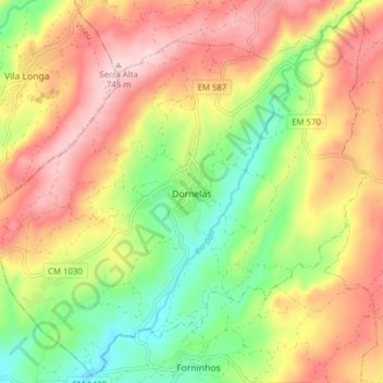
Name: Dornelas topographic map, elevation, terrain.
Location: Dornelas, Aguiar da Beira, Guarda, Portugal (40.70274 -7.59775 40.75935 -7.52013)
Average elevation: 1,936 ft
Minimum elevation: 1,457 ft
Maximum elevation: 2,425 ft