
Bacanuchi topographic map
Interactive map
Click on the map to display elevation.
About this map
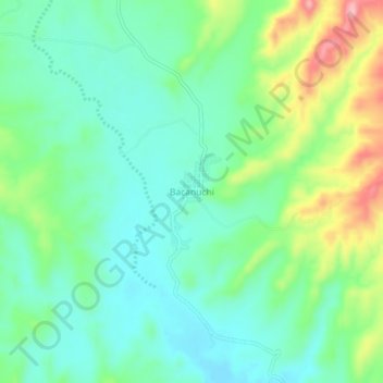
Name: Bacanuchi topographic map, elevation, terrain.
Location: Bacanuchi, Arizpe, Sonora, México (30.58552 -110.25618 30.62552 -110.21618)
Average elevation: 3,524 ft
Minimum elevation: 3,376 ft
Maximum elevation: 3,868 ft