
槽源 topographic map
Interactive map
Click on the map to display elevation.
About this map
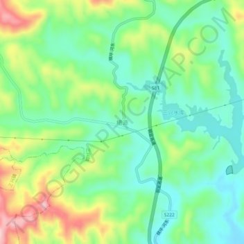
Name: 槽源 topographic map, elevation, terrain.
Location: 槽源, 三兴镇, 万载县, 宜春市, 江西省, 中国 (28.23352 114.43019 28.27352 114.47019)
Average elevation: 577 ft
Minimum elevation: 328 ft
Maximum elevation: 1,056 ft