
Gembes topographic map
Interactive map
Click on the map to display elevation.
About this map
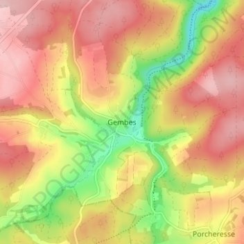
Name: Gembes topographic map, elevation, terrain.
Location: Gembes, Daverdisse, Luxemburg, Wallonië, 6929, België (49.97720 5.04323 50.01720 5.08323)
Average elevation: 1,194 ft
Minimum elevation: 856 ft
Maximum elevation: 1,430 ft