
Polientes topographic map
Interactive map
Click on the map to display elevation.
About this map
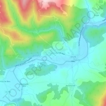
Name: Polientes topographic map, elevation, terrain.
Location: Polientes, Valderredible, Cantabrië, 39220, Spanje (42.78585 -3.96075 42.82585 -3.92075)
Average elevation: 2,526 ft
Minimum elevation: 2,264 ft
Maximum elevation: 3,238 ft