
Point Judith topographic map
Interactive map
Click on the map to display elevation.
About this map
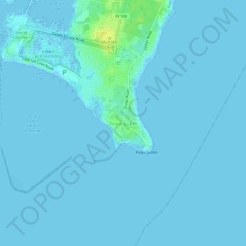
Name: Point Judith topographic map, elevation, terrain.
Location: Point Judith, Washington, Rhode Island, USA (41.34538 -71.50672 41.38538 -71.46672)
Average elevation: 3 ft
Minimum elevation: -13 ft
Maximum elevation: 66 ft