
Gould topographic map
Click on the map to display elevation.
About this map
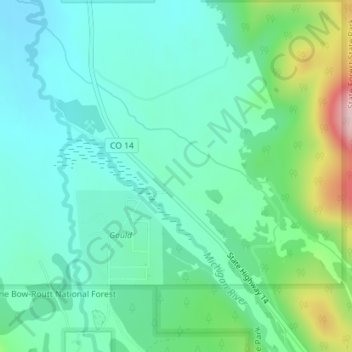
Name: Gould topographic map, elevation, terrain.
Location: Gould, Jackson County, Colorado, United States (40.51740 -106.03583 40.53740 -106.01583)
Average elevation: 8,983 ft
Minimum elevation: 8,796 ft
Maximum elevation: 9,557 ft
Jackson County trails, hiking, mountain biking, running and outdoor activities
Other topographic maps
Click on a map to view its topography, its elevation and its terrain.
Walden
United States > Colorado > Jackson County
Walden is the Statutory Town that is the county seat, the most populous community, and the only incorporated municipality in Jackson County, Colorado, United States. It is situated in the center of a large open valley called North Park. People from Walden and the surrounding area refer to themselves as "North…
Average elevation: 8,081 ft