
Dampremy topographic map
Interactive map
Click on the map to display elevation.
About this map
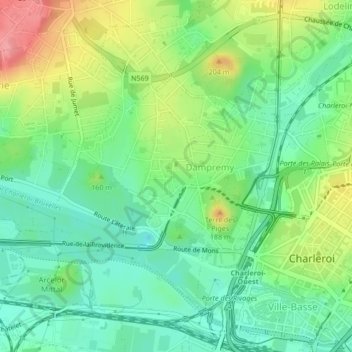
Name: Dampremy topographic map, elevation, terrain.
Location: Dampremy, Charleroi, Henegouwen, Wallonië, België (50.40675 4.40904 50.42559 4.44266)
Average elevation: 390 ft
Minimum elevation: 285 ft
Maximum elevation: 594 ft