
Rhinplate und Elbufer südlich Glückstadt topographic map
Interactive map
Click on the map to display elevation.
About this map
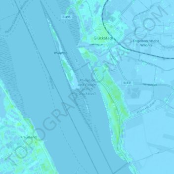
Name: Rhinplate und Elbufer südlich Glückstadt topographic map, elevation, terrain.
Average elevation: 0 ft
Minimum elevation: -16 ft
Maximum elevation: 20 ft