
Varmahlíð topographic map
Interactive map
Click on the map to display elevation.
About this map
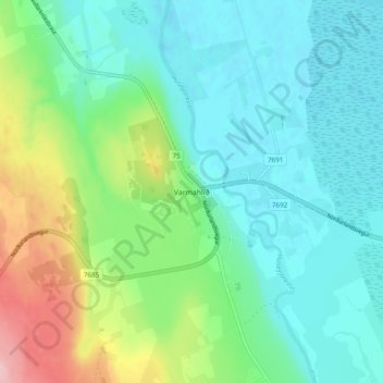
Name: Varmahlíð topographic map, elevation, terrain.
Location: Varmahlíð, Skagafjörður, Northwestern Region, 560, Iceland (65.53324 -19.46748 65.57324 -19.42748)
Average elevation: 151 ft
Minimum elevation: 7 ft
Maximum elevation: 568 ft