
Mutatá topographic map
Interactive map
Click on the map to display elevation.
About this map
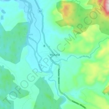
Name: Mutatá topographic map, elevation, terrain.
Location: Mutatá, Urabá, Antioquia, Colombia (7.20407 -76.47654 7.28407 -76.39654)
Average elevation: 679 ft
Minimum elevation: 246 ft
Maximum elevation: 2,405 ft