
新范湾闸 topographic map
Interactive map
Click on the map to display elevation.
About this map
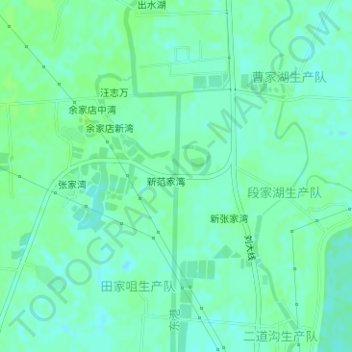
Name: 新范湾闸 topographic map, elevation, terrain.
Location: 新范湾闸, 新范家湾, 新洲区, 武汉市, 湖北省, 中国 (30.73937 114.76754 30.73945 114.76796)
Average elevation: 72 ft
Minimum elevation: 56 ft
Maximum elevation: 82 ft