
Kawnabak topographic map
Interactive map
Click on the map to display elevation.
About this map
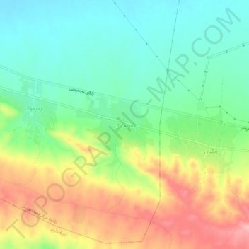
Name: Kawnabak topographic map, elevation, terrain.
Location: Kawnabak, Aqrah District, Dohuk, Iraqi Kurdistan, Iraq (36.47074 43.62273 36.51074 43.66273)
Average elevation: 1,401 ft
Minimum elevation: 1,204 ft
Maximum elevation: 1,706 ft