
Rudenberg topographic map
Interactive map
Click on the map to display elevation.
About this map
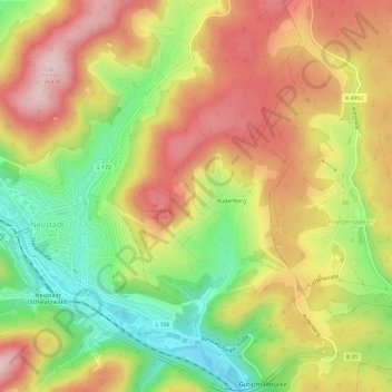
Name: Rudenberg topographic map, elevation, terrain.
Average elevation: 3,048 ft
Minimum elevation: 2,569 ft
Maximum elevation: 3,488 ft
Other topographic maps
Click on a map to view its topography, its elevation and its terrain.
Titisee
Duitsland > Baden-Württemberg > Landkreis Breisgau-Hochschwarzwald > Titisee-Neustadt > Titisee
Titisee, Titisee-Neustadt, Verwaltungsgemeinschaft Titisee-Neustadt, Landkreis Breisgau-Hochschwarzwald, Baden-Württemberg, Duitsland
Average elevation: 3,009 ft