
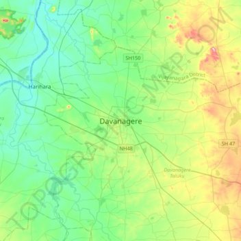
Davanagere topographic map
Interactive map
Click on the map to display elevation.
About this map
Name: Davanagere topographic map, elevation, terrain.
Average elevation: 1,936 ft
Minimum elevation: 1,696 ft
Maximum elevation: 2,589 ft
Other topographic maps
Click on a map to view its topography, its elevation and its terrain.
Avaragere
India > Karnataka > Davanagere taluku > Avaragere
Avaragere, Davanagere taluku, Davanagere district, Karnataka, 577003, India
Average elevation: 1,936 ft