San Juan topographic map
Interactive map
Click on the map to display elevation.
About this map
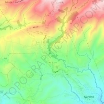
Name: San Juan topographic map, elevation, terrain.
Average elevation: 3,973 ft
Minimum elevation: 3,169 ft
Maximum elevation: 5,026 ft

Click on the map to display elevation.
Name: San Juan topographic map, elevation, terrain.
Average elevation: 3,973 ft
Minimum elevation: 3,169 ft
Maximum elevation: 5,026 ft