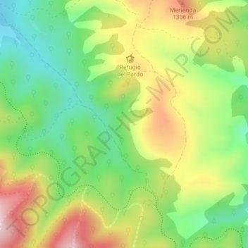
Cerro de la Viga topographic map
Interactive map
Click on the map to display elevation.
About this map
Name: Cerro de la Viga topographic map, elevation, terrain.
Average elevation: 3,953 ft
Minimum elevation: 3,520 ft
Maximum elevation: 4,514 ft

Click on the map to display elevation.
Name: Cerro de la Viga topographic map, elevation, terrain.
Average elevation: 3,953 ft
Minimum elevation: 3,520 ft
Maximum elevation: 4,514 ft