
Cocherelle topographic map
Interactive map
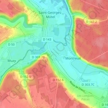
Click on the map to display elevation.
About this map
Name: Cocherelle topographic map, elevation, terrain.
Average elevation: 344 ft
Minimum elevation: 226 ft
Maximum elevation: 466 ft
Other topographic maps
Click on a map to view its topography, its elevation and its terrain.
Montreuil
France > Centre-Val de Loire > Eure-et-Loir > Montreuil
Montreuil, Dreux, Eure-et-Loir, Centre-Val de Loire, France métropolitaine, 28500, France
Average elevation: 354 ft