
Bonita National Golf & Country Club topographic map
Interactive map
Click on the map to display elevation.
About this map
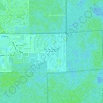
Name: Bonita National Golf & Country Club topographic map, elevation, terrain.
Average elevation: 16 ft
Minimum elevation: 7 ft
Maximum elevation: 30 ft