
Bandar Baharu Cheneh topographic map
Interactive map
Click on the map to display elevation.
About this map
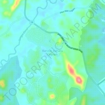
Name: Bandar Baharu Cheneh topographic map, elevation, terrain.
Location: Bandar Baharu Cheneh, Kemaman District, Terengganu, Malaysia (4.11332 103.22298 4.15332 103.26298)
Average elevation: 92 ft
Minimum elevation: 16 ft
Maximum elevation: 417 ft