
Lohārkhet topographic map
Interactive map
Click on the map to display elevation.
About this map
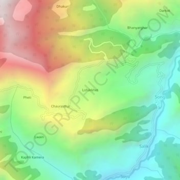
Name: Lohārkhet topographic map, elevation, terrain.
Location: Lohārkhet, Bageshwar, Uttarakhand, India (30.01675 79.91782 30.05675 79.95782)
Average elevation: 6,365 ft
Minimum elevation: 4,170 ft
Maximum elevation: 9,751 ft