
綦江区 topographic map
Interactive map
Click on the map to display elevation.
About this map
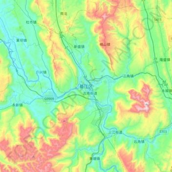
Name: 綦江区 topographic map, elevation, terrain.
Location: 綦江区, 古南街道, 綦江区, 重庆市主城都市区, 重庆市, 中国 (28.87089 106.48774 29.19089 106.80774)
Average elevation: 1,736 ft
Minimum elevation: 646 ft
Maximum elevation: 4,380 ft
Other topographic maps
Click on a map to view its topography, its elevation and its terrain.