
Ludowici topographic map
Interactive map
Click on the map to display elevation.
About this map
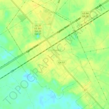
Name: Ludowici topographic map, elevation, terrain.
Location: Ludowici, Long County, Georgia, United States (31.69126 -81.76617 31.72541 -81.72769)
Average elevation: 56 ft
Minimum elevation: 13 ft
Maximum elevation: 82 ft