
Wengern topographic map
Interactive map
Click on the map to display elevation.
About this map
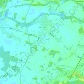
Name: Wengern topographic map, elevation, terrain.
Average elevation: 528 ft
Minimum elevation: 515 ft
Maximum elevation: 558 ft
Other topographic maps
Click on a map to view its topography, its elevation and its terrain.
Oppeln
Polen > Woiwodschaft Oppeln > Powiat Oppeln
Oppeln, Powiat Oppeln, Woiwodschaft Oppeln, Polen
Average elevation: 528 ft
Polnisch Neudorf
Polen > Woiwodschaft Oppeln > Powiat Oppeln
Polnisch Neudorf, Gemeinde Comprachtschütz, Powiat Oppeln, Woiwodschaft Oppeln, Polen
Average elevation: 587 ft