
Dryden topographic map
Interactive map
Click on the map to display elevation.
About this map
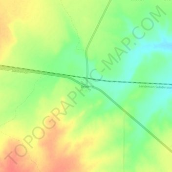
Name: Dryden topographic map, elevation, terrain.
Location: Dryden, Terrell County, Texas, 78851, United States (30.02464 -102.13458 30.06464 -102.09458)
Average elevation: 2,139 ft
Minimum elevation: 2,054 ft
Maximum elevation: 2,224 ft
Other topographic maps
Click on a map to view its topography, its elevation and its terrain.
Sanderson
United States > Texas > Terrell County
Sanderson, Terrell County, Texas, United States
Average elevation: 2,956 ft