
Arippara Waterfall topographic map
Interactive map
Click on the map to display elevation.
About this map
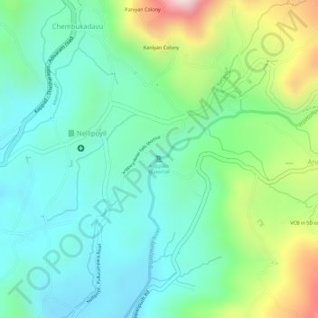
Name: Arippara Waterfall topographic map, elevation, terrain.
Location: Arippara Waterfall, Kozhikode, Kerala, India (11.43788 76.04640 11.43798 76.04650)
Average elevation: 587 ft
Minimum elevation: 180 ft
Maximum elevation: 1,486 ft
Other topographic maps
Click on a map to view its topography, its elevation and its terrain.