
Jet topographic map
Interactive map
Click on the map to display elevation.
About this map
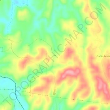
Name: Jet topographic map, elevation, terrain.
Location: Jet, Jefferson County, Alabama, 35041, USA (33.64788 -86.95194 33.68788 -86.91194)
Average elevation: 499 ft
Minimum elevation: 302 ft
Maximum elevation: 712 ft