
Codena topographic map
Interactive map
Click on the map to display elevation.
About this map
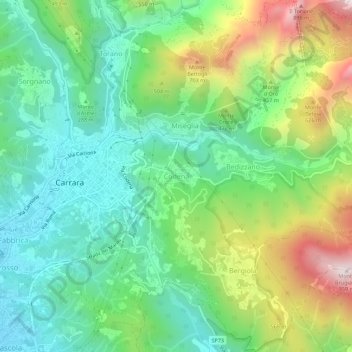
Name: Codena topographic map, elevation, terrain.
Location: Codena, Carrare, Massa-Carrara, Toscane, 54033, Italie (44.05781 10.09360 44.09781 10.13360)
Average elevation: 1,109 ft
Minimum elevation: 157 ft
Maximum elevation: 3,048 ft