
Sacały topographic map
Interactive map
Click on the map to display elevation.
About this map
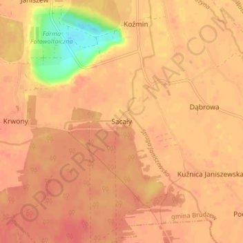
Name: Sacały topographic map, elevation, terrain.
Location: Sacały, gmina Brudzew, powiat turecki, Grande-Pologne, Pologne (52.04667 18.64667 52.08667 18.68667)
Average elevation: 318 ft
Minimum elevation: 184 ft
Maximum elevation: 358 ft