
Amonines topographic map
Interactive map
Click on the map to display elevation.
About this map
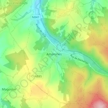
Name: Amonines topographic map, elevation, terrain.
Location: Amonines, Marche-en-Famenne, Luxembourg, Wallonie, Belgique (50.24552 5.53715 50.28552 5.57715)
Average elevation: 1,168 ft
Minimum elevation: 876 ft
Maximum elevation: 1,631 ft