
白杨河 topographic map
Interactive map
Click on the map to display elevation.
About this map
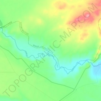
Name: 白杨河 topographic map, elevation, terrain.
Location: 白杨河, 乌尔禾区, 和什托洛盖镇, 和布克赛尔蒙古自治县, 塔城地区, 新疆维吾尔自治区, 中国 (46.12531 85.37682 46.14303 85.43209)
Average elevation: 1,427 ft
Minimum elevation: 1,276 ft
Maximum elevation: 1,654 ft