
Veerle topographic map
Interactive map
Click on the map to display elevation.
About this map
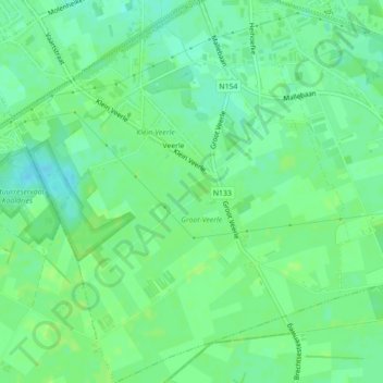
Name: Veerle topographic map, elevation, terrain.
Location: Veerle, Sint-Lenaarts, Brecht, Antwerpen, Vlaanderen, België (51.31622 4.65125 51.34373 4.68994)
Average elevation: 89 ft
Minimum elevation: 66 ft
Maximum elevation: 98 ft