
Swarnamukhi topographic map
Interactive map
Click on the map to display elevation.
About this map
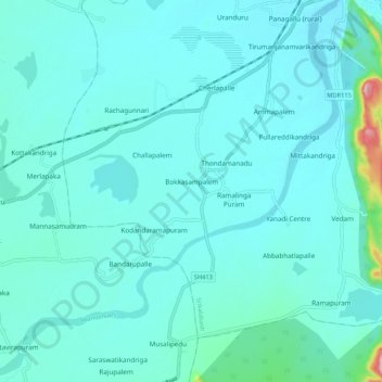
Name: Swarnamukhi topographic map, elevation, terrain.
Location: Swarnamukhi, Tirupati, Chittoor, Andhra Pradesh, 517500, India (13.64664 79.59209 13.74951 79.69540)
Average elevation: 276 ft
Minimum elevation: 187 ft
Maximum elevation: 1,014 ft