
Dhaleshwari River topographic map
Interactive map
Click on the map to display elevation.
About this map
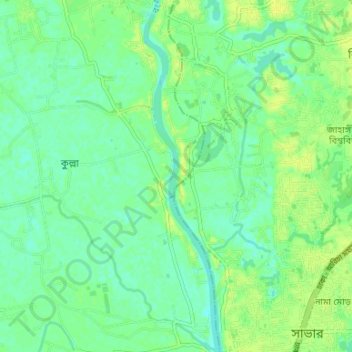
Name: Dhaleshwari River topographic map, elevation, terrain.
Average elevation: 26 ft
Minimum elevation: 3 ft
Maximum elevation: 49 ft
Other topographic maps
Click on a map to view its topography, its elevation and its terrain.
Dhamrai
Bangladesh > Dhaka Division > Dhamrai
Dhamrai, Dhamrai Subdistrict, Dhaka District, Dhaka Division, 1350, Bangladesh
Average elevation: 30 ft