
Black River topographic map
Interactive map
Click on the map to display elevation.
About this map
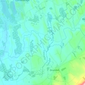
Name: Black River topographic map, elevation, terrain.
Average elevation: 203 ft
Minimum elevation: 121 ft
Maximum elevation: 807 ft
Other topographic maps
Click on a map to view its topography, its elevation and its terrain.
Edgeworthstown
Edgeworthstown, Edgeworthstown ED, Ballymahon Municipal District, County Longford, Leinster, N39 AH64, Ireland
Average elevation: 308 ft