
Ifrene topographic map
Interactive map
Click on the map to display elevation.
About this map
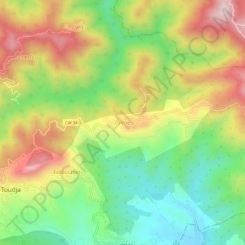
Name: Ifrene topographic map, elevation, terrain.
Location: Ifrene, Toudja, Daïra El Kseur, Béjaïa, 06030, Algérie (36.74337 4.89994 36.78337 4.93994)
Average elevation: 968 ft
Minimum elevation: 220 ft
Maximum elevation: 1,900 ft