
Buffalo Hill topographic map
Interactive map
Click on the map to display elevation.
About this map
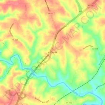
Name: Buffalo Hill topographic map, elevation, terrain.
Location: Buffalo Hill, Amherst County, Virginia, United States (37.59292 -79.03669 37.63292 -78.99669)
Average elevation: 666 ft
Minimum elevation: 525 ft
Maximum elevation: 771 ft