
Setiles topographic map
Interactive map
Click on the map to display elevation.
About this map
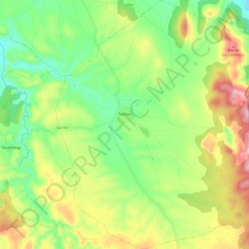
Name: Setiles topographic map, elevation, terrain.
Location: Setiles, Guadalajara, Castille-La Manche, Espagne (40.68544 -1.64984 40.77271 -1.55261)
Average elevation: 4,252 ft
Minimum elevation: 3,845 ft
Maximum elevation: 4,865 ft