
Ouled Nessir topographic map
Interactive map
Click on the map to display elevation.
About this map
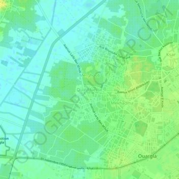
Name: Ouled Nessir topographic map, elevation, terrain.
Location: Ouled Nessir, Ouargla, Daïra Ouargla, Ouargla, 3000, Algérie (31.93950 5.28568 31.97950 5.32568)
Average elevation: 440 ft
Minimum elevation: 413 ft
Maximum elevation: 469 ft