
จังหวัดนครปฐม topographic map
Interactive map
Click on the map to display elevation.
About this map
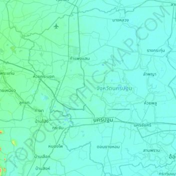
Name: จังหวัดนครปฐม topographic map, elevation, terrain.
Location: จังหวัดนครปฐม, Tailandia (13.64914 99.80693 14.17897 100.33757)
Average elevation: 23 ft
Minimum elevation: -13 ft
Maximum elevation: 466 ft