
Denice topographic map
Interactive map
Click on the map to display elevation.
About this map
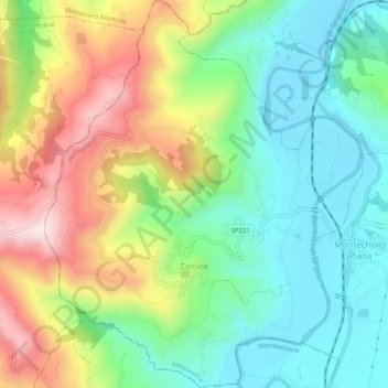
Name: Denice topographic map, elevation, terrain.
Location: Denice, Alessandria, Piemonte, Italia (44.58771 8.31398 44.62311 8.35486)
Average elevation: 1,158 ft
Minimum elevation: 587 ft
Maximum elevation: 2,139 ft