
Jostedal topographic map
Interactive map
Click on the map to display elevation.
About this map
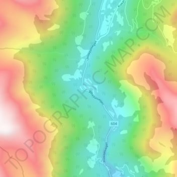
Name: Jostedal topographic map, elevation, terrain.
Location: Jostedal, Luster, Vestland, 6871, Norway (61.56767 7.26174 61.60767 7.30174)
Average elevation: 1,972 ft
Minimum elevation: 413 ft
Maximum elevation: 4,301 ft