
Nuragus topographic map
Interactive map
Click on the map to display elevation.
About this map
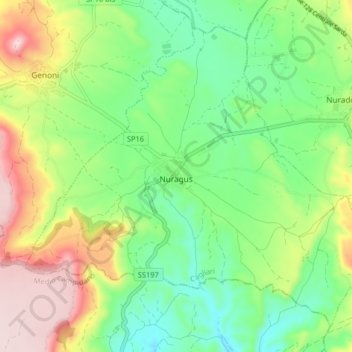
Name: Nuragus topographic map, elevation, terrain.
Location: Nuragus, Sud Sardegna, Sardegna, 08030, Italia (39.75021 9.00327 39.80316 9.08415)
Average elevation: 1,257 ft
Minimum elevation: 863 ft
Maximum elevation: 1,916 ft