
Casal do Chapim topographic map
Interactive map
Click on the map to display elevation.
About this map
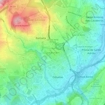
Name: Casal do Chapim topographic map, elevation, terrain.
Location: Casal do Chapim, Odivelas, Lisboa, 2675-595, Portugal (38.77973 -9.20181 38.81973 -9.16181)
Average elevation: 344 ft
Minimum elevation: 26 ft
Maximum elevation: 1,066 ft
Other topographic maps
Click on a map to view its topography, its elevation and its terrain.