
Grabow topographic map
Interactive map
Click on the map to display elevation.
About this map
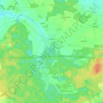
Name: Grabow topographic map, elevation, terrain.
Location: Grabow, Möckern, Jerichower Land, Sachsen-Anhalt, Deutschland (52.20216 11.91460 52.27589 12.03211)
Average elevation: 197 ft
Minimum elevation: 148 ft
Maximum elevation: 282 ft