
Il Colle topographic map
Interactive map
Click on the map to display elevation.
About this map
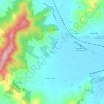
Name: Il Colle topographic map, elevation, terrain.
Location: Il Colle, Magione, Perugia, Umbria, 06063, Italia (43.08007 12.21897 43.12007 12.25897)
Average elevation: 938 ft
Minimum elevation: 712 ft
Maximum elevation: 1,670 ft