
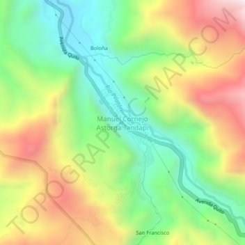
Manuel Cornejo Astorga Tandapi topographic map
Interactive map
Click on the map to display elevation.
About this map
Name: Manuel Cornejo Astorga Tandapi topographic map, elevation, terrain.
Average elevation: 5,801 ft
Minimum elevation: 4,465 ft
Maximum elevation: 7,615 ft